
Case study 2020
WildRange — Hunting Location Finder
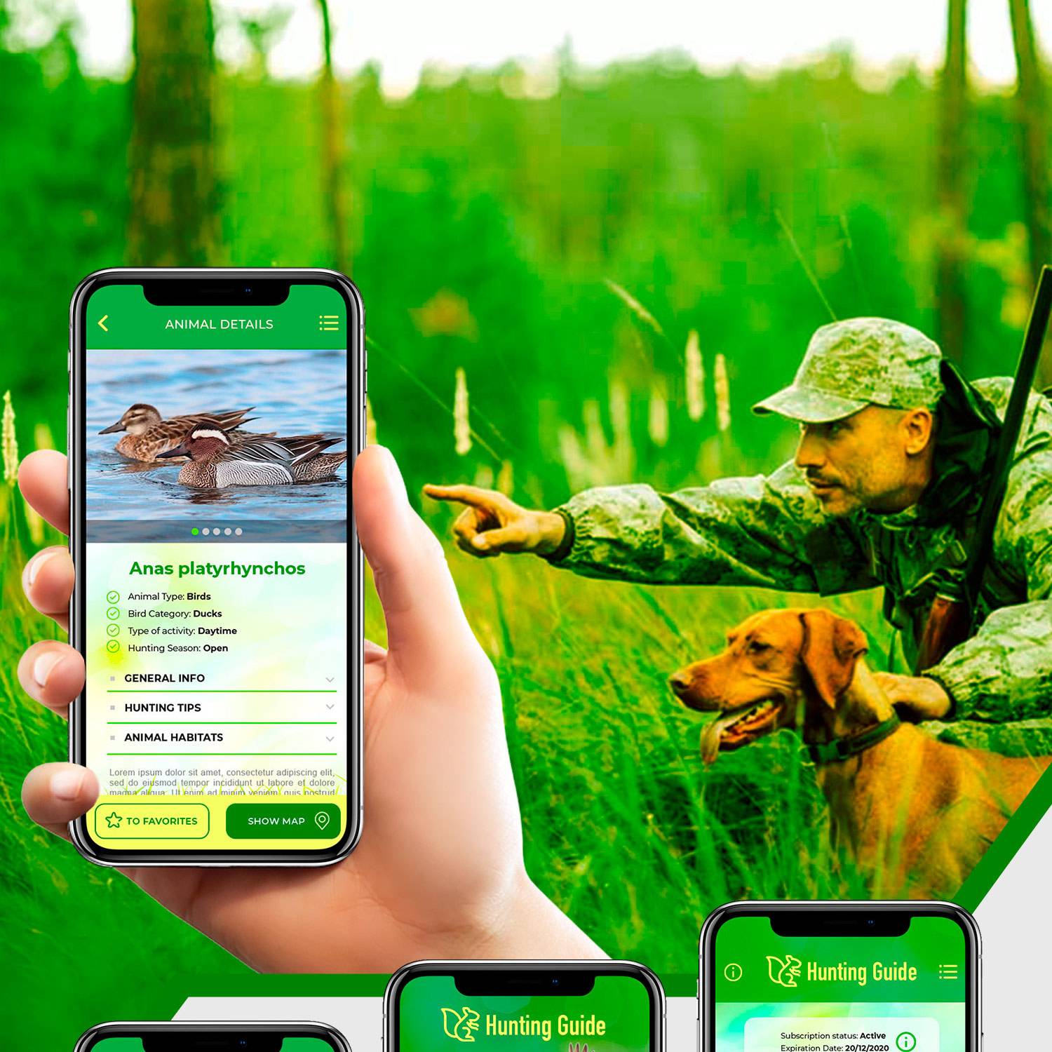
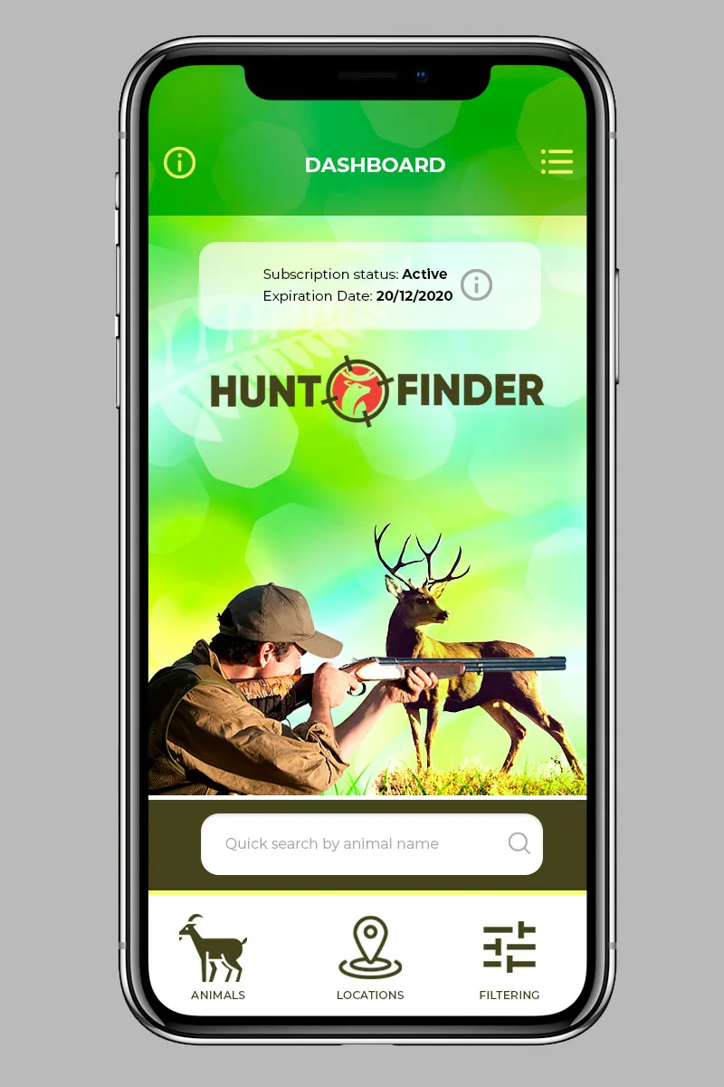
Hunting location platform with polygon zone maps and live GPS checks, so hunters know a spot is open and legal before they make the drive.
 Case study
2020
The story behind it.
Public land is not the same as open land. A hunter can drive two hours to a spot and find the season closed, a permit required, or the boundary in a different place than the map suggested. WildRange set out to answer those questions before the truck leaves the driveway. We built the app, the public API and the admin system behind it.
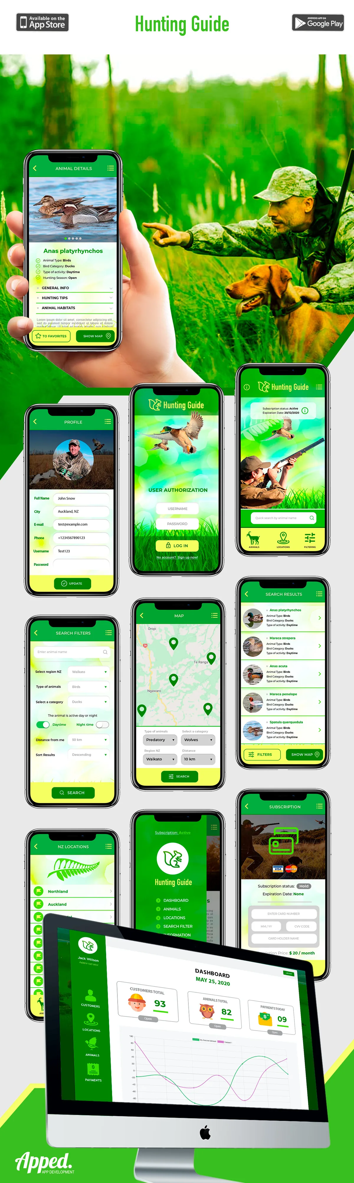
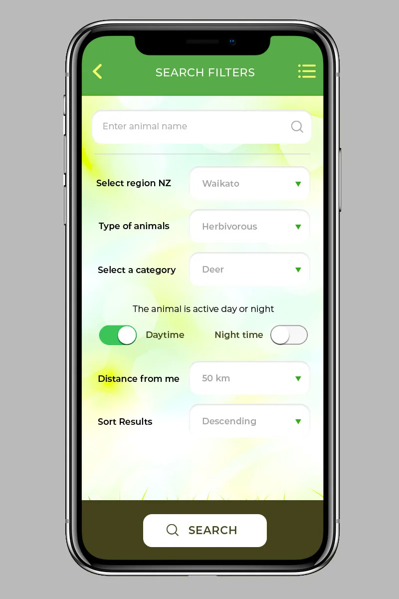
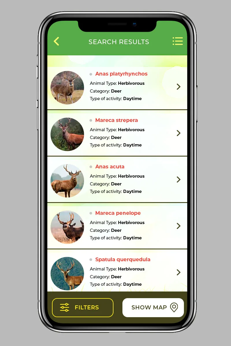
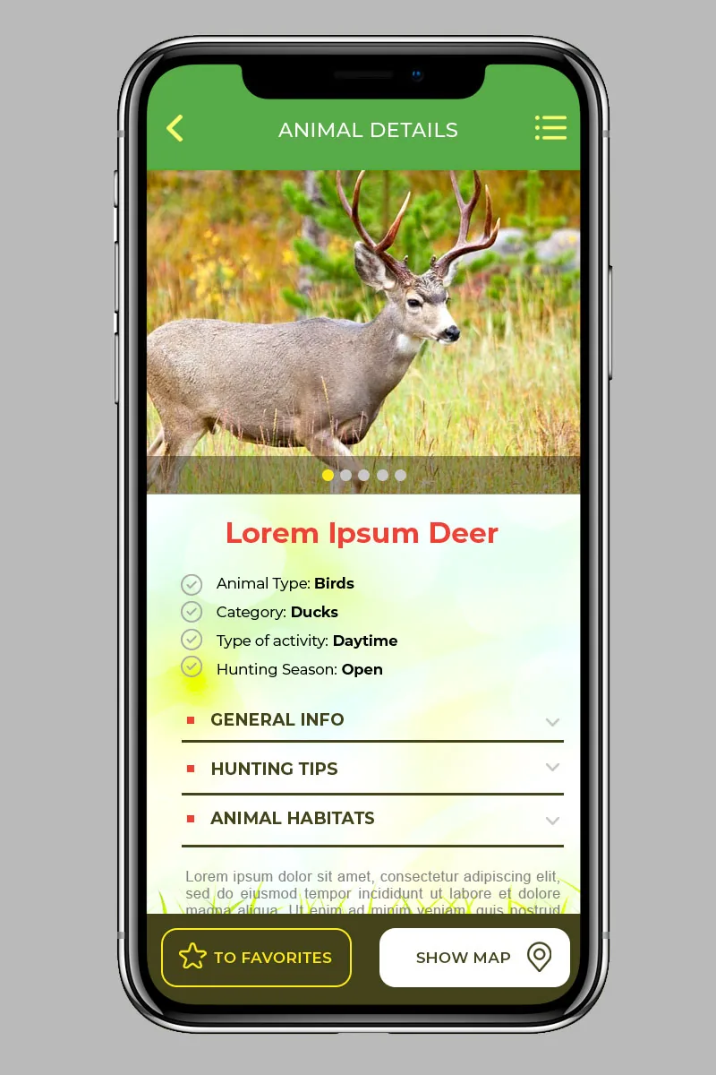
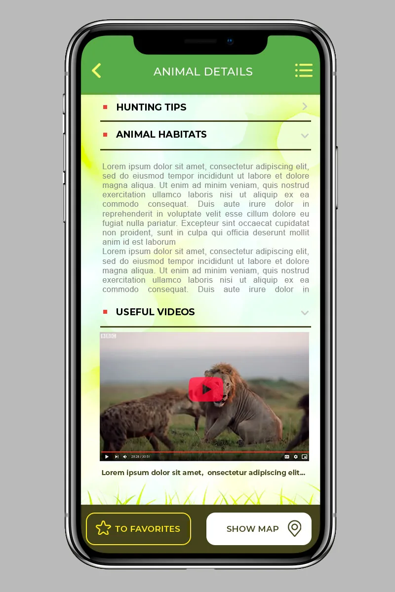
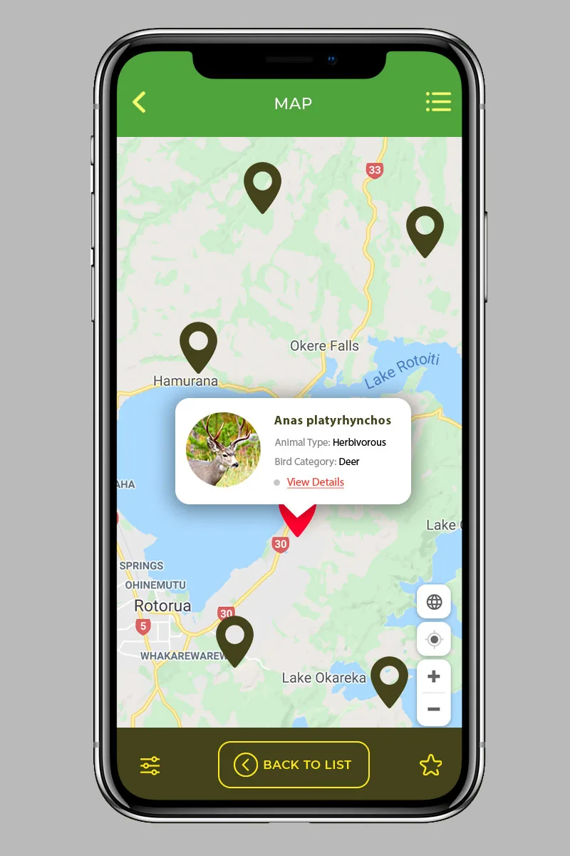
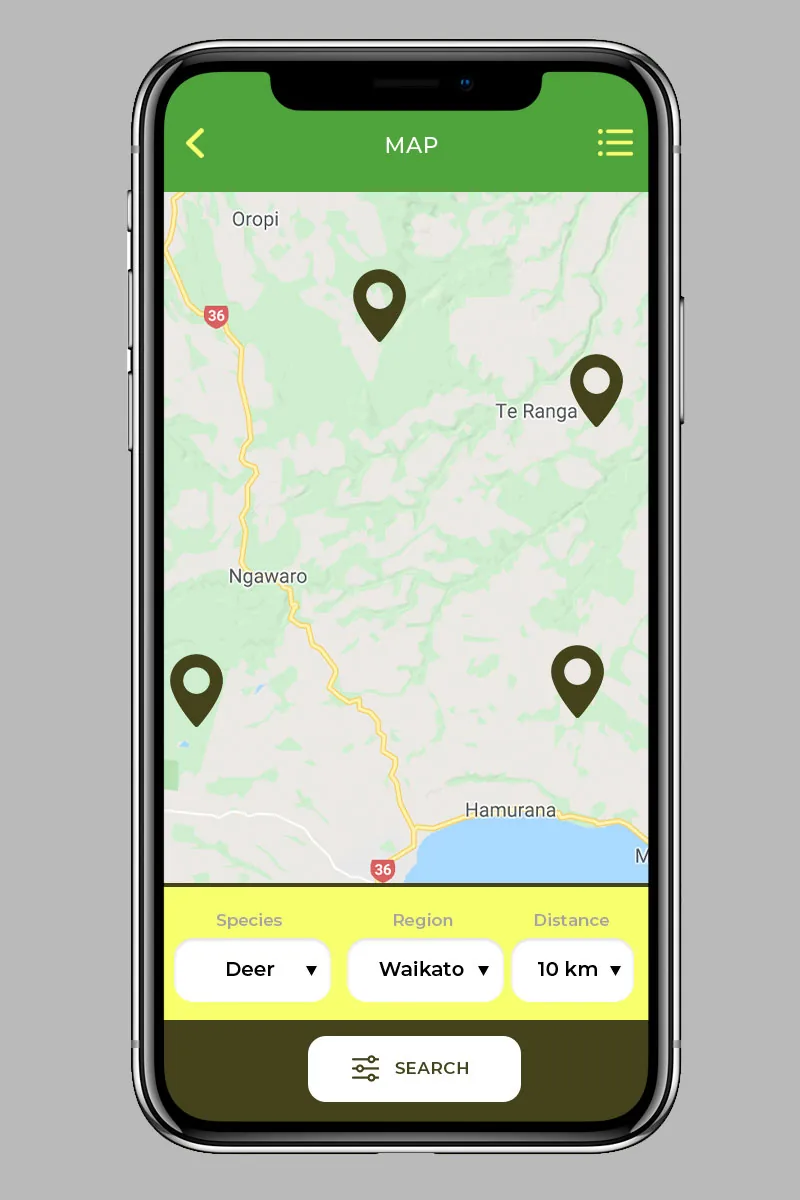
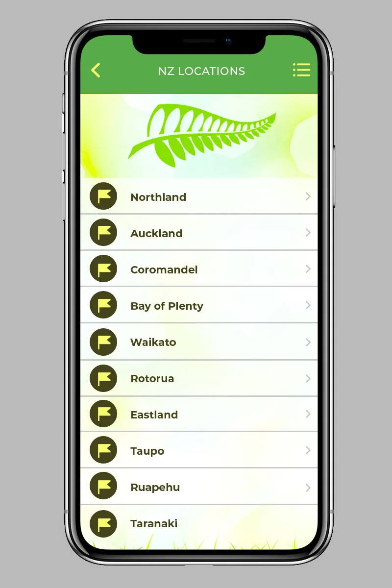
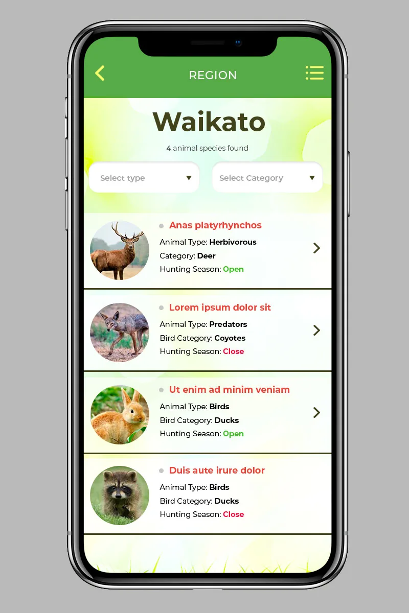
Search, map, confirm. Hunters filter locations by species, season dates, terrain, access and permit requirements, then read the details for each result. Every zone is drawn on Google Maps as a translucent polygon, and the device's GPS marker is checked against it in real time, so the screen answers the only question that matters in the field: am I inside a zone I can legally hunt? An advanced search and saved filters keep repeat trips quick to plan.
The admin panel handles users, hunting locations, huts and subscription payments through Stripe. The REST API runs on PHP 7, the panel is built in Vue 3, and the mobile app ships as a Quasar hybrid for phones and tablets. Building the whole stack rather than just the screens kept the map, search and subscription logic consistent from database to field.
- Client
- WildRange
- Frameworks
- Vue 3, PHP 7
- Skills
- Product design, Frontend, Backend
- Category
- Web Development Product Design App Development
- Created
- 2020
 Up next
AquaVale — Water Park Guest App
View case study
Have a similar project in mind?
Tell us what you are building. We will come back with a plan, a timeline and a straight answer.
Start a conversation